Longview Ranch Enters Agreement with Federal Aviation Administration
Located along Central Oregon’s historic Route 19 in Kimberly, Longview Ranch maintains 30,000 stunning acres of diverse landscape. Eight miles of the John Day River flows through the middle of the property, which operates primarily for the purpose of raising grass-fed cattle.
Longview Ranch is also home to a Federal Aviation Administration (FAA) Very High Frequency Omni-Directional Range (VOR), a ground-based electronic system that provides azimuth information or high and low altitude routes and airport approaches.
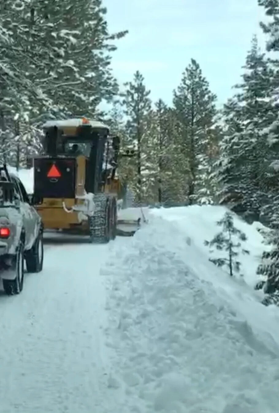
The VOR site on Longview Ranch’s property is located along a road that transverses up a mountainside prone to inclement weather. Longview Ranch continuously works with the FAA to ensure the road remains passable, using ranch equipment and staff to clear the path so operators are able to make bi-weekly trips to the VOR to confirm it is functioning property.